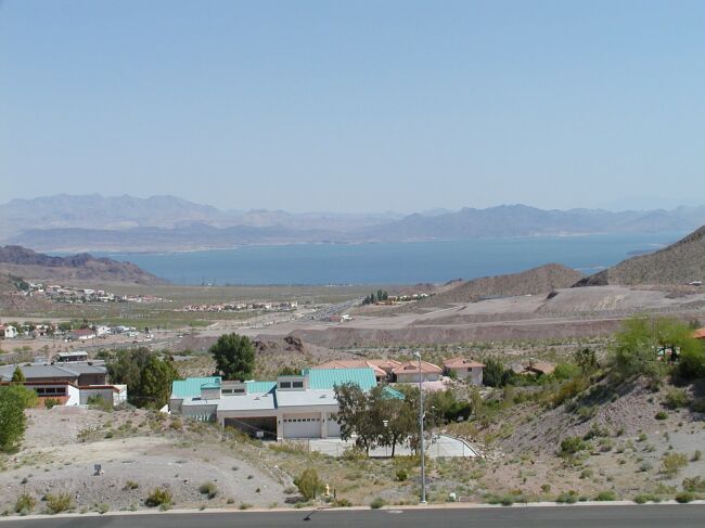
 Lake Mead from Las Vegas |
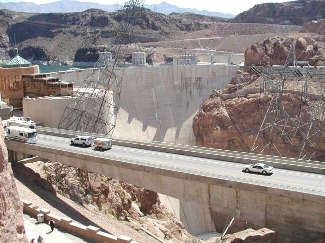 Hoover Dam |
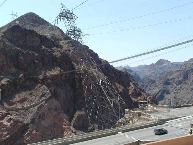 Precariously-tilted power lines at Hoover Dam |
 Humphreys Peak, AZ |
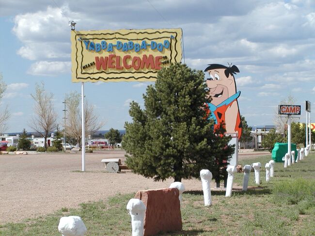 Bedrock City, AZ |
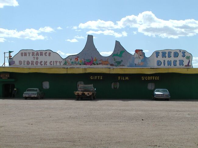 Entrance to Bedrock City |
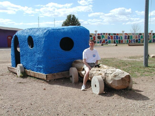 Brad on the Flintstones-mobile |
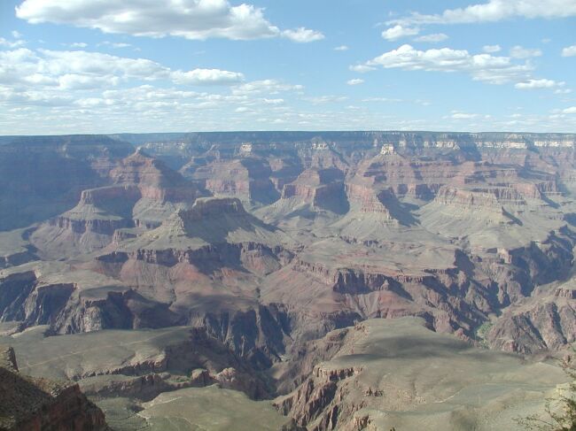 Our first view at the Grand Canyon |
Panorama of the Grand Canyon from Mather Point |
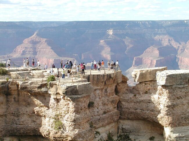 Visitors at Mather Point give a perspective of the size |
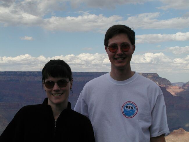 Brad and Stephanie at Grand Canyon National Park |
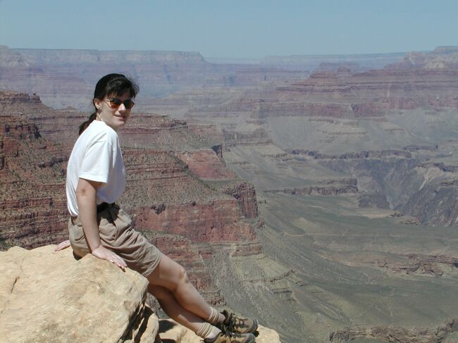
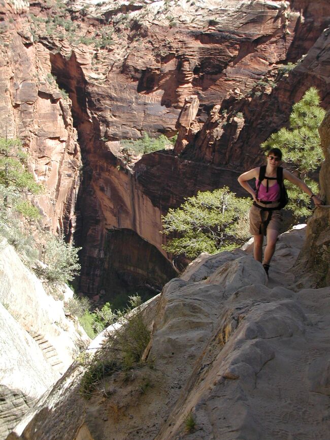
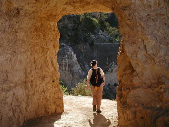 Stephanie on the Bright Angel Trail |
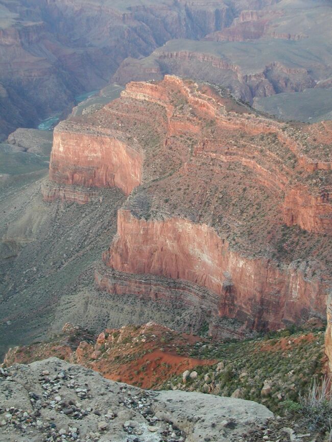
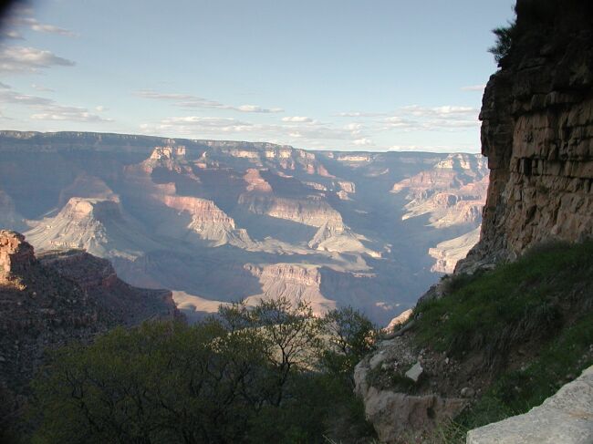 View from inside the canyon on the Bright Angel Trail |
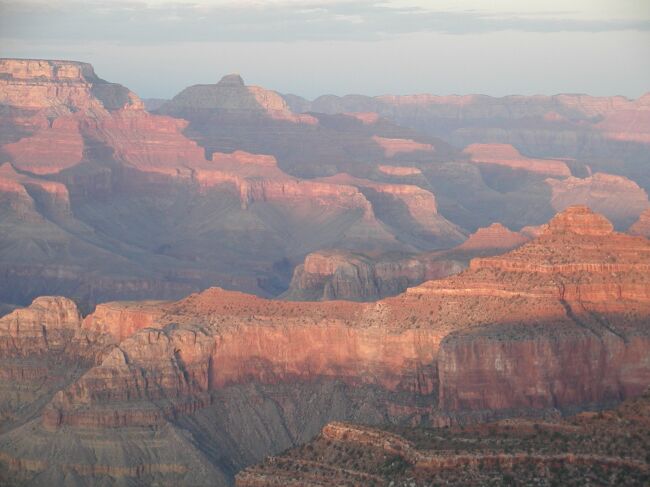 Sunset from Hopi Point |
 Another sunset shot from Hopi Point |
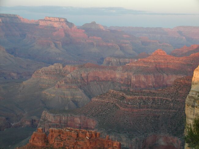 The colors in the rocks really shine at sunset |
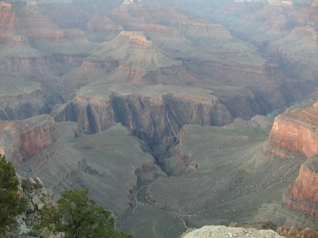 The Colorado River deep in the canyon |
Panorama at sunset |
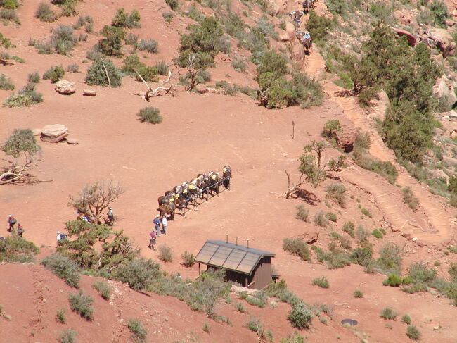 Mule train in the canyon along the South Kaibab Trail |
 Stephanie poses on an airy ledge at Ooh-Aah Point along the South Kaibab Trail |
 Brad's not quite as brave with the edge |
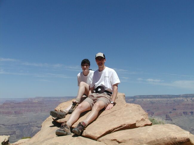 Stephanie and Brad pose at Ooh-Aah Point after hiking into the canyon on the South Kaibab Trail |
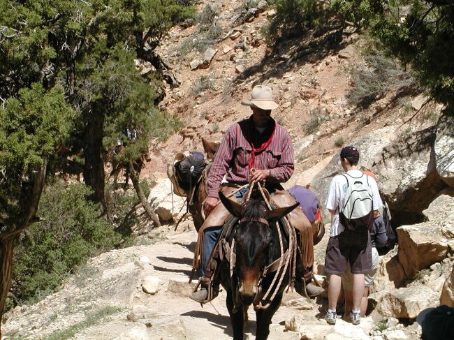 A mule train passes us on the way back up |
 This gives some idea of the steepness of the hike |
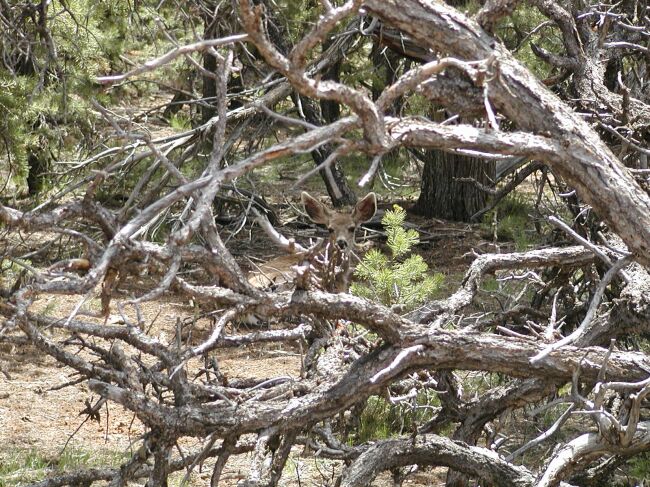 Mule deer on the south rim |
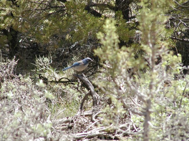 An unknown bird species |
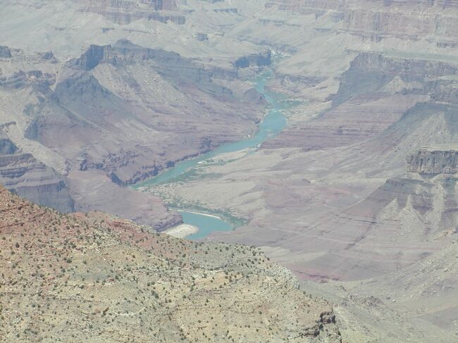 The Colorado River just after entering the canyon from the East rim |
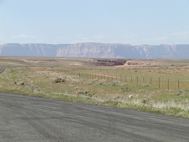
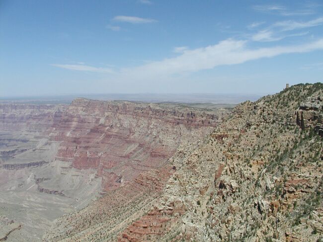 Looking beyond the start of the canyon to the Painted Desert |
 The Painted Desert fills the horizon |
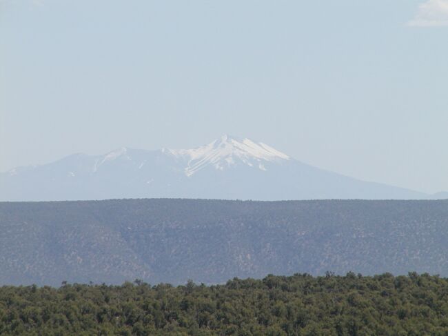 Humphreys Peak again - it's the highest mountain in Arizona at 12,633 feet |
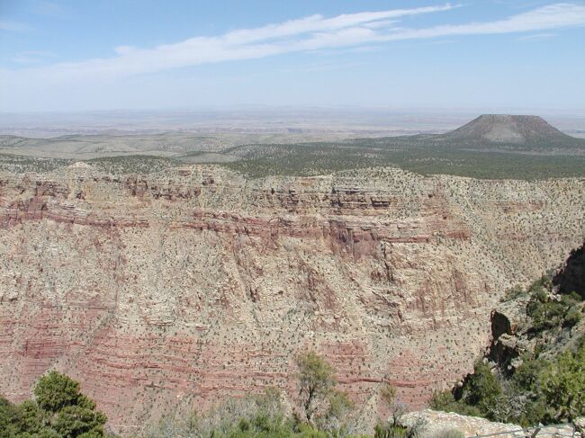
 Colorful cliffs in the Painted Desert |
 The Vermillion Cliffs loom ahead |
 An interesting rock formation |
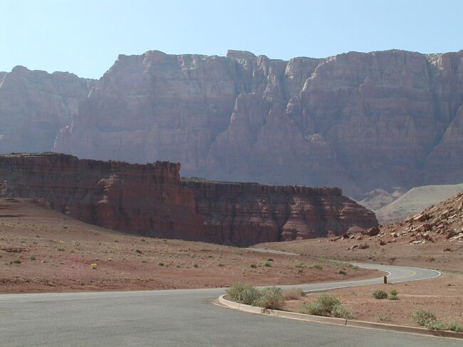 We're driving into the Glen Canyon Recreation Area at Marble Canyon |
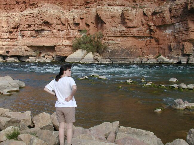 The Colorado River just before entering the Grand Canyon |
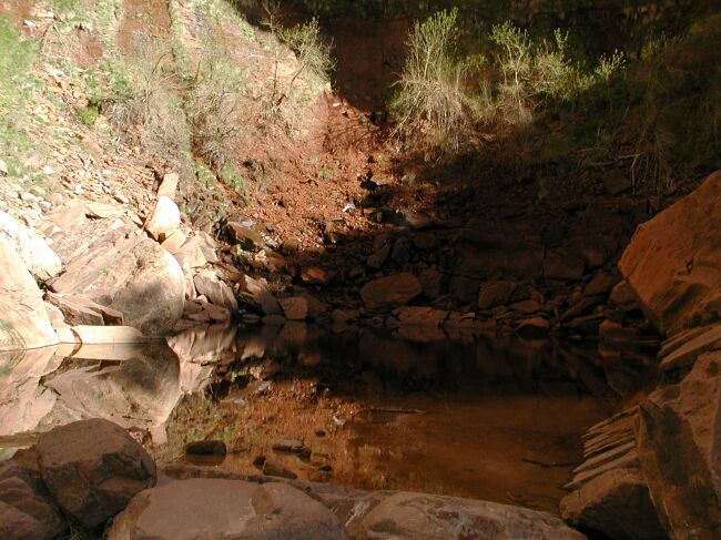
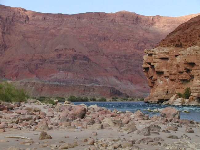 This was one of our favorite spots |
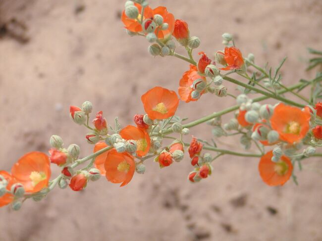 The flowers in the desert really surprised us. |
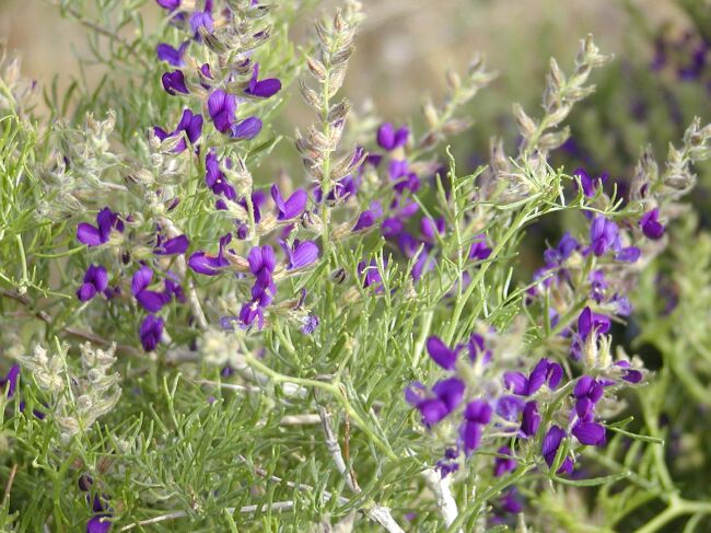 We love purple! |
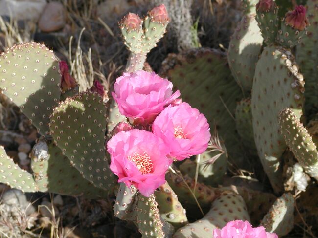 Blooming cactus |
 Big beautiful yellow flowers on a cactus plant |
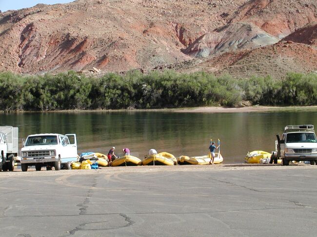 This is where the rafting trips through Grand Canyon begin |
 Beautiful scenery at Glen Canyon |
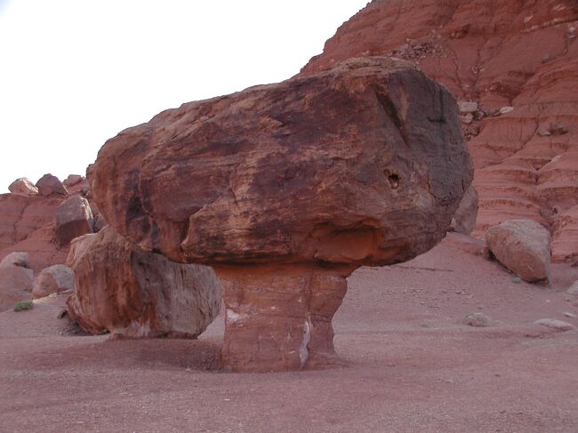 Balanced rock |
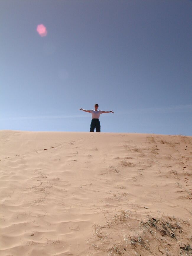 Now we're at Coral Pink Sand Dunes State Park in Utah |
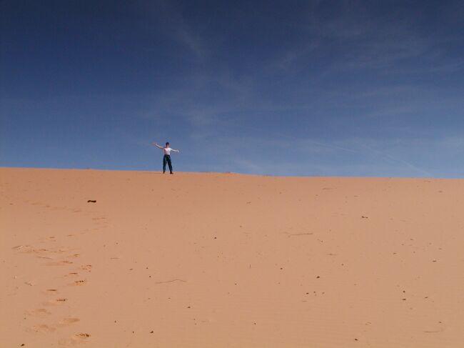 What a tremendous place in the middle of nowhere |
 You really have to see these dunes to believe them |
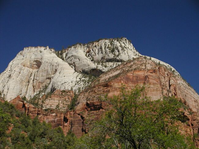
 We just arrived at Zion National Park. This is Checkerboard Mesa. |
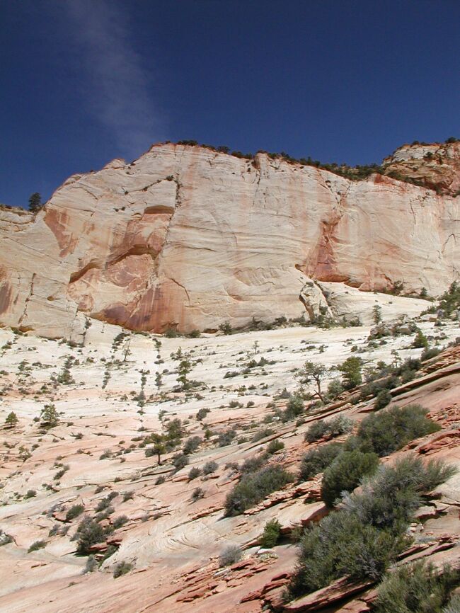 Deep blue skies, sandstone cliffs, and spring vegetation allowed Zion to earn its name. |
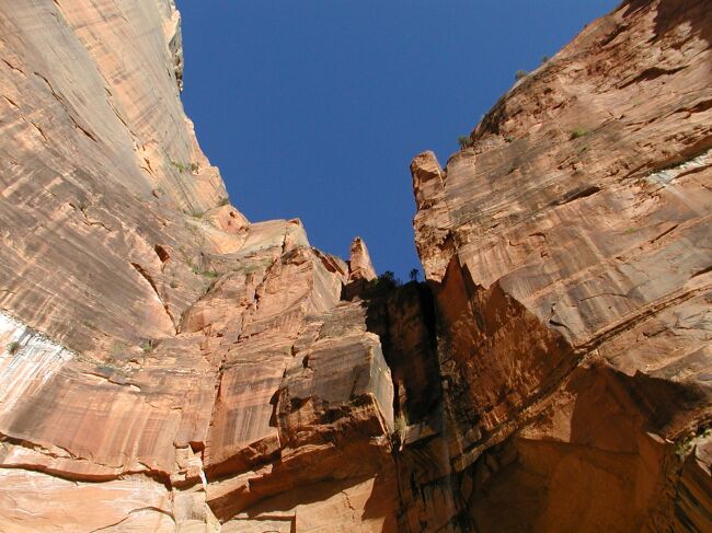
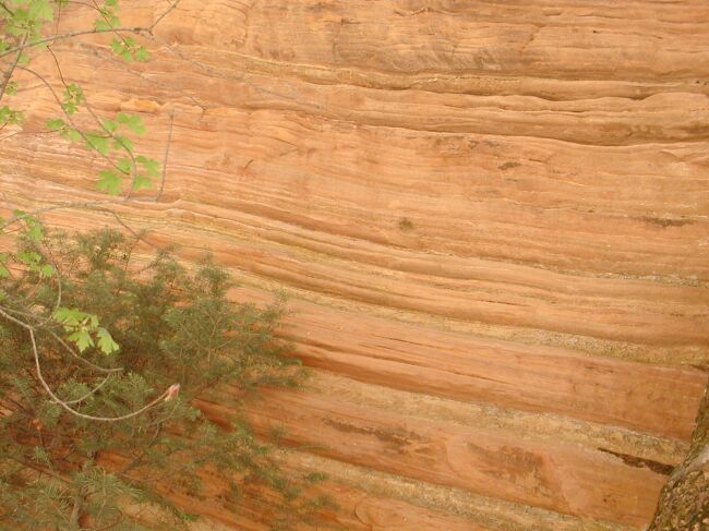
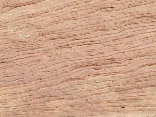 Closeup view of the rock in Zion |
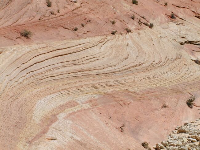 You could stand there all day looking at the rock formations |
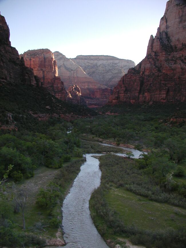
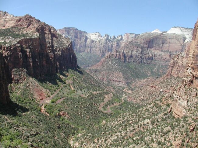 Our first glimpse into the main Virgin River valley of Zion from the Canyon Overlook trail |
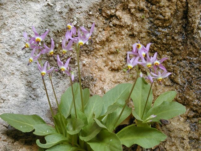
 Wild Phlox on the Canyon Overlook trail |
 The Watchman |
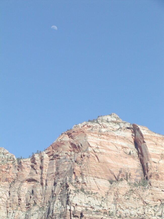 Moon over the cliffs |
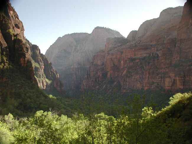 A peaceful view into Zion valley from Weeping Rock |
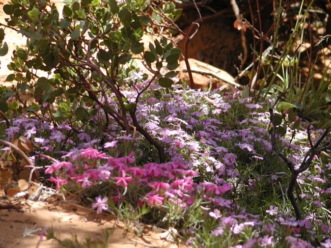
 Flowers growing on the sides of the cliffs |
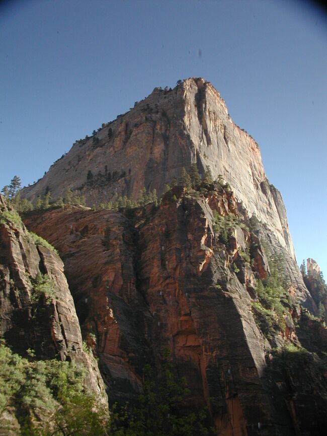 Side view of the Great White Throne |
 Rock climbers make "camp" for the night - 1000 feet above the valley floor! |
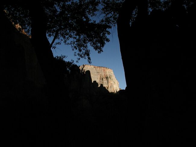 A dramatic view late in the day |
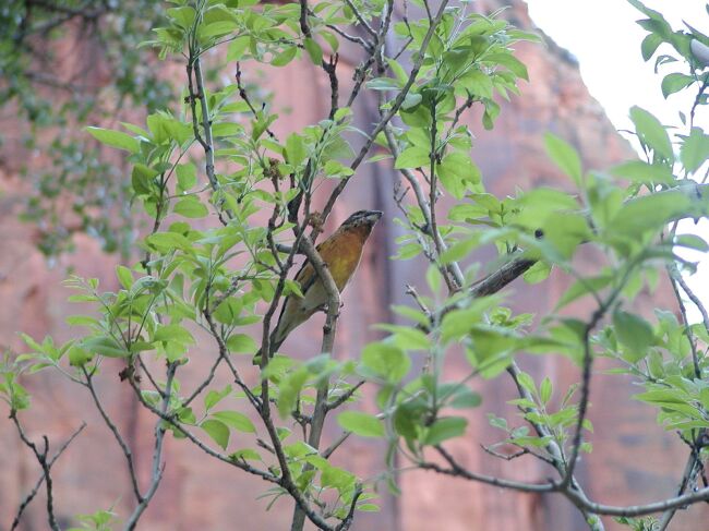 Another unknown bird |
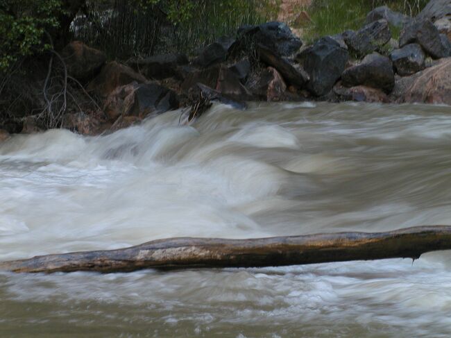 The Virgin River as it makes it way through Zion National Park |
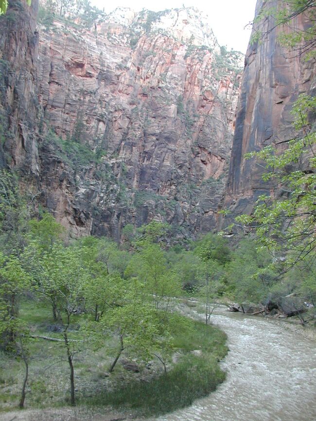 We followed the Riverside trail up the canyon toward the Narrows |
 An early dawn hike to the Emerald Pools shows the serenity of the park |
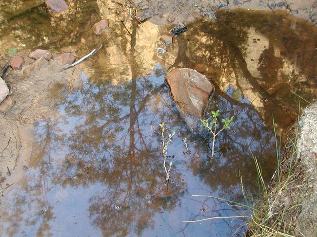 Reflection in the middle pool |
 The cliffs and deep blue sky surrounding us at the upper pool |
 Shaded reflection |
 The Great White Throne in stark contrast to the deep blue sky |
 Looking back at the path of the Emerald Pools trail |
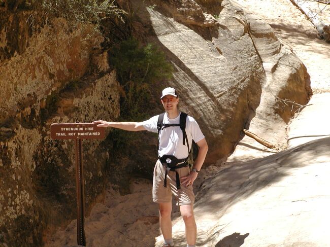
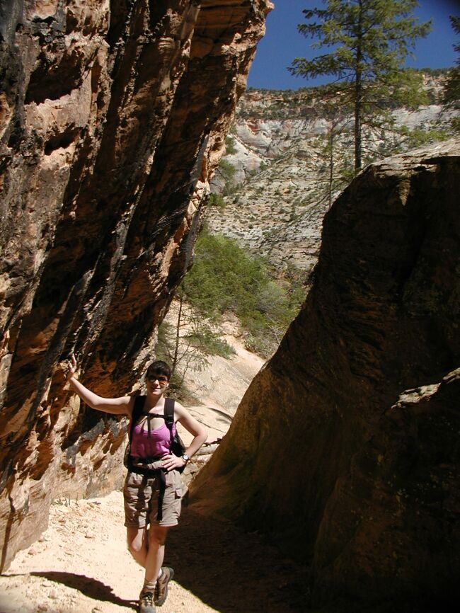
 Now it's time for some air. Steph on the Hidden Canyon trail. |
 Brad poses just before going off trail inside Hidden Canyon deep in the park. |
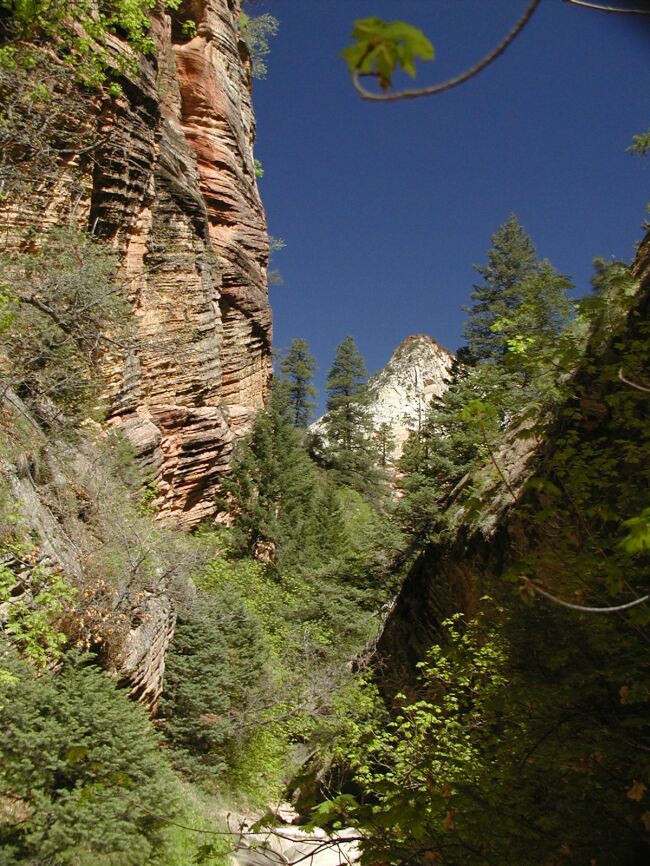
 Looking out Hidden Canyon |
 Beautiful rock formations in Hidden Canyon |
 Zion National Park, and Utah in general, had the bluest skies we've ever seen. |
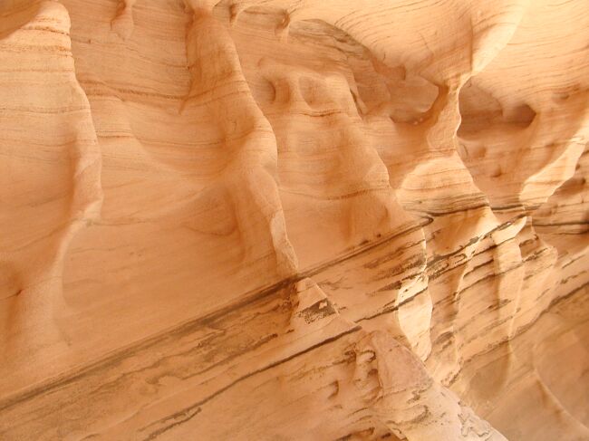 We couldn't stop photographing these interesting rock formations. |
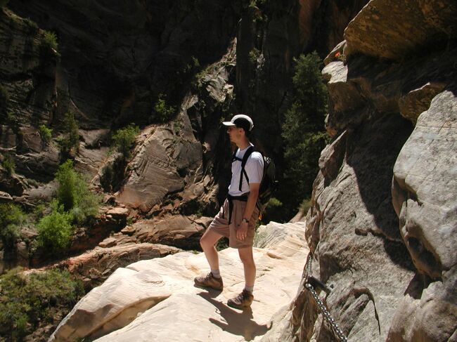 Brad high up on the Hidden Canyon trail - not recommended for anyone with a fear of heights |
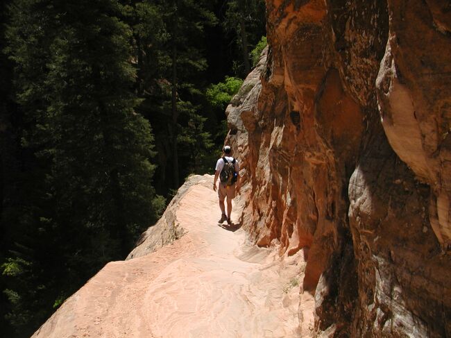 Brad carefully makes his way down the Hidden Canyon trail |
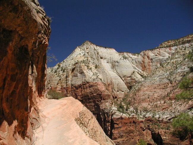 Looking up the route of the trail |
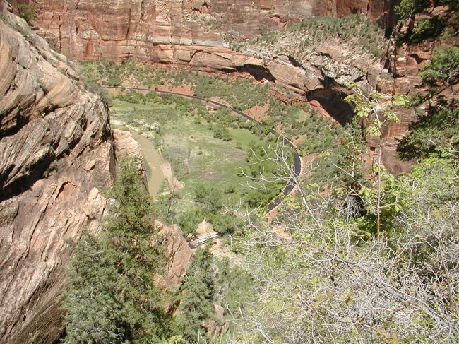 Looking down the side of the trail |
 Looking across the valley from the trail at the Organ |
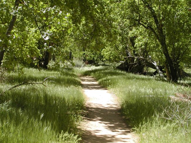 The Grotto walk shows the plush greenery at Zion |
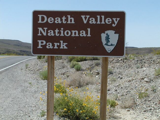 Now we enter Death Valley National Park in California |
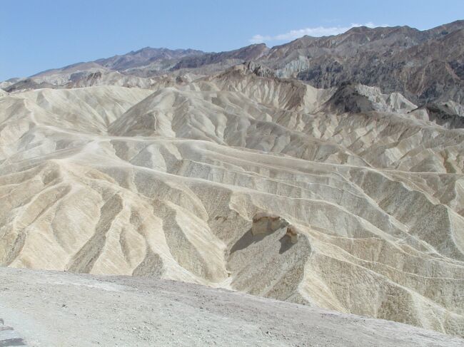 The Badlands at Zabriskie Point |
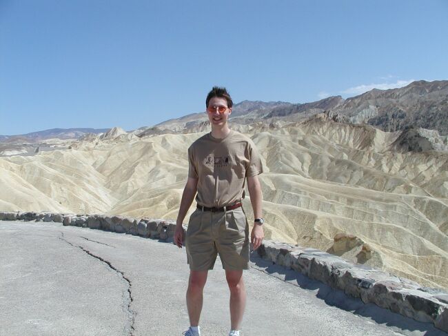 Brad stands in the wind at Zabriskie Point |
 Badwater on the valley floor is the lowest point in the hemisphere |
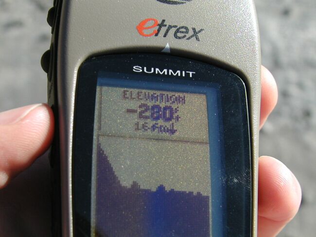 We couldn't believe how accurate the GPS read below sea level. |
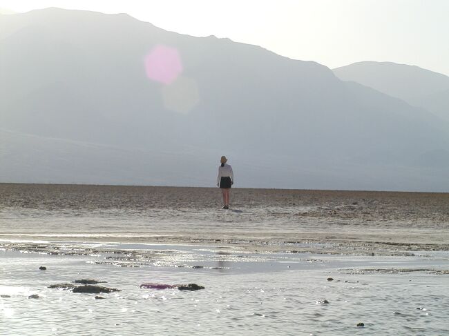 Stephanie walks out onto the salt flats. |
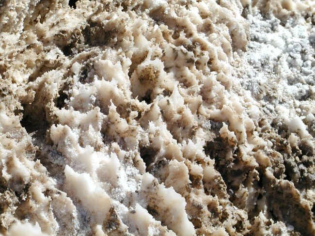
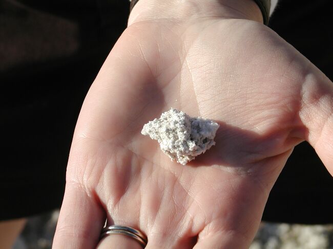 A closeup view of the salt crystals |
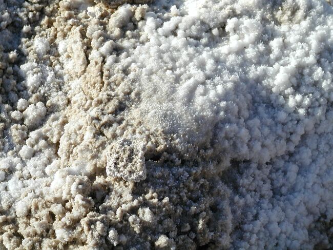 This is the valley floor on which we were walking |
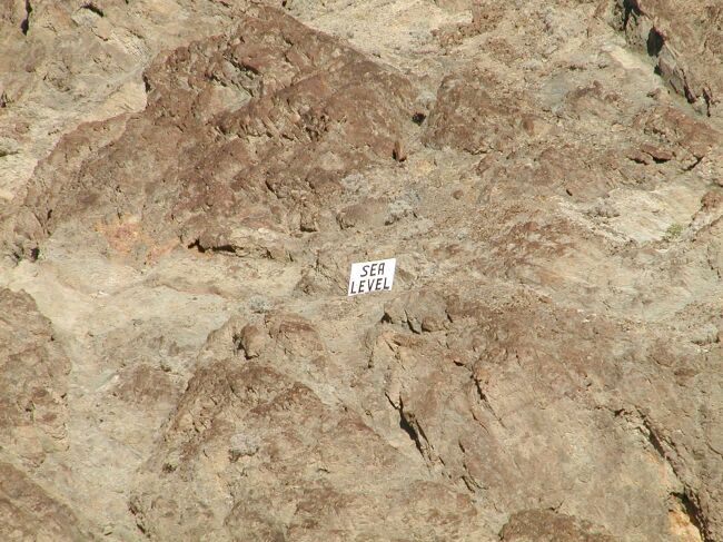 A sea level marker up on the cliffs |
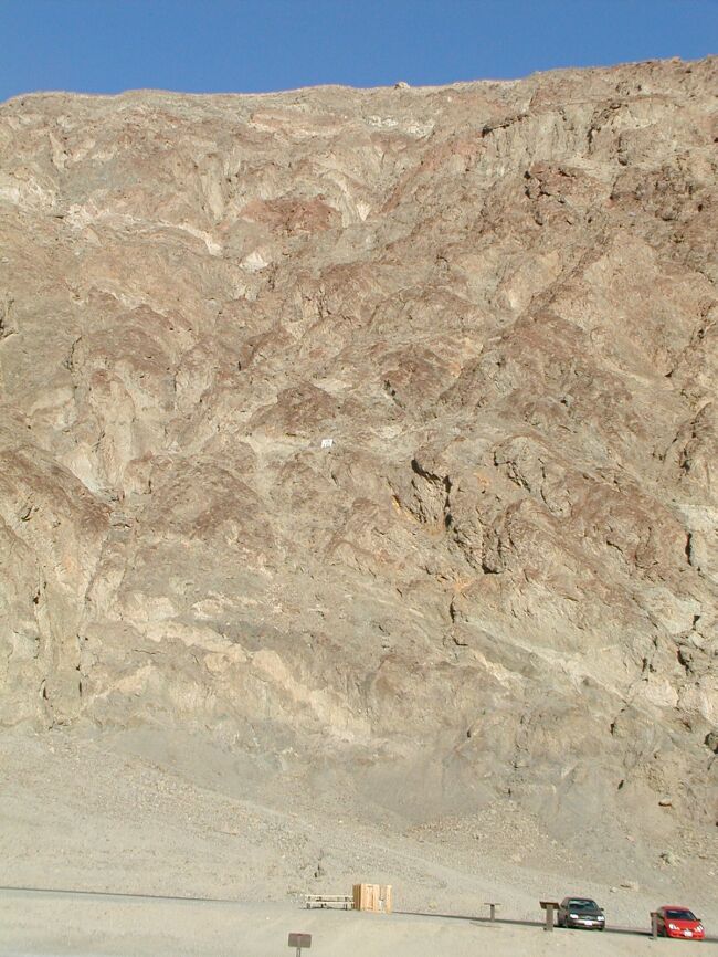 The same marker zoomed out for perspective of where we were in relation to the surface of the ocean |
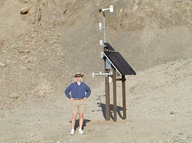 Brad stands next to the weather station at Badwater, the hottest point on Earth |
 Death Valley is immense - 200 miles long and 16 miles wide. |
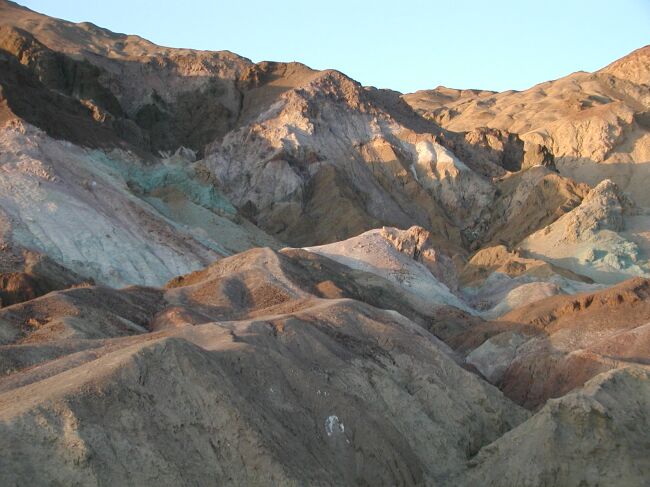 Artist Palette |
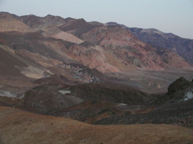
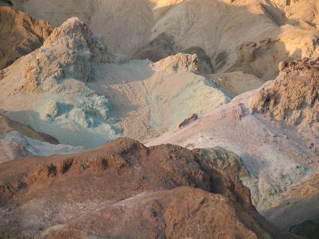 Can you believe the colors of the rocks in this park? |
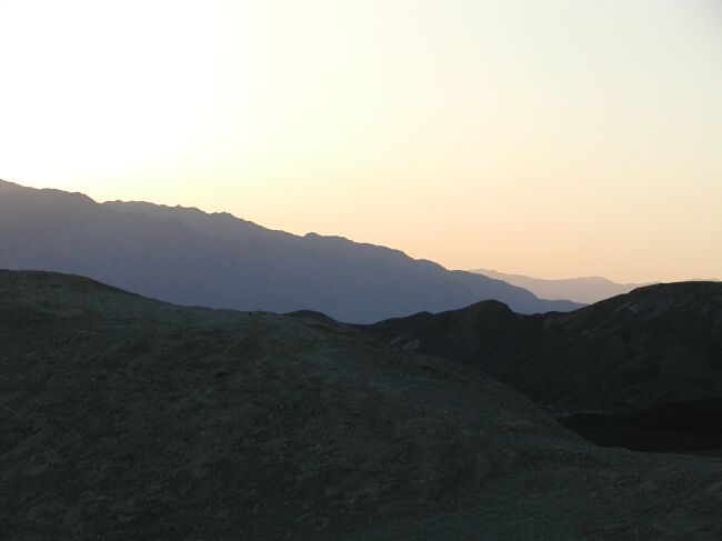 Sunset over the park |
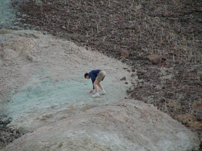 Brad goes exploring to touch the green rock. It looked like powder but was hard. |
 Artists Palette is an incredible place made even more beautiful by sunset. |
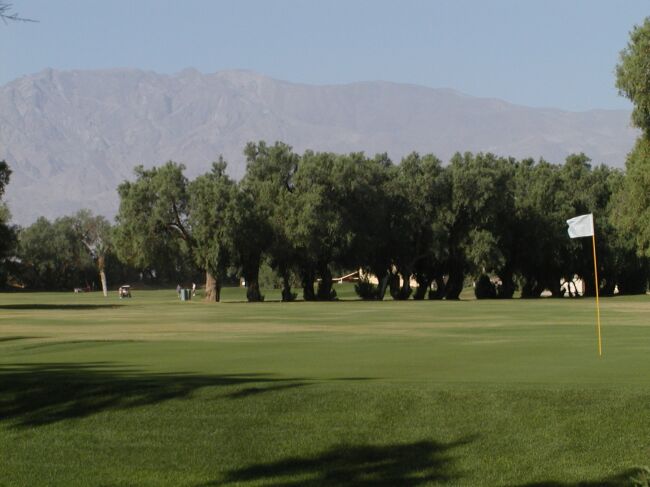 The view from our room at the Furnace Creek Ranch |
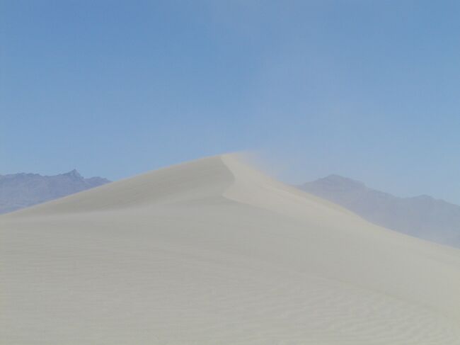
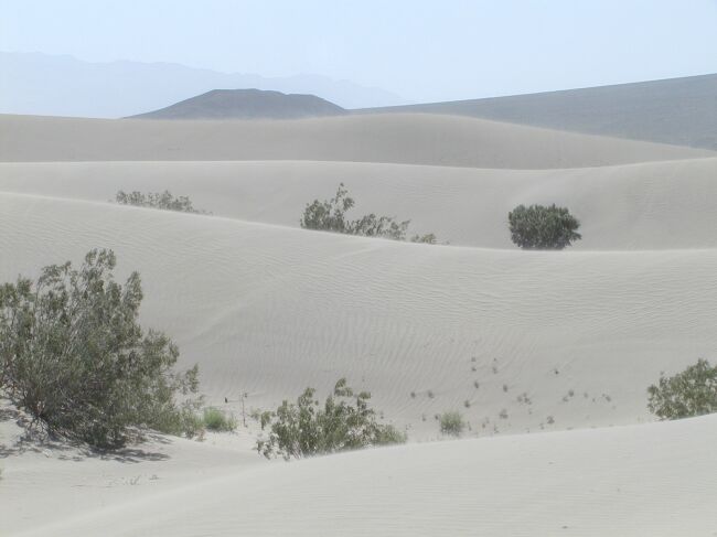
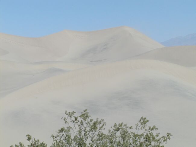
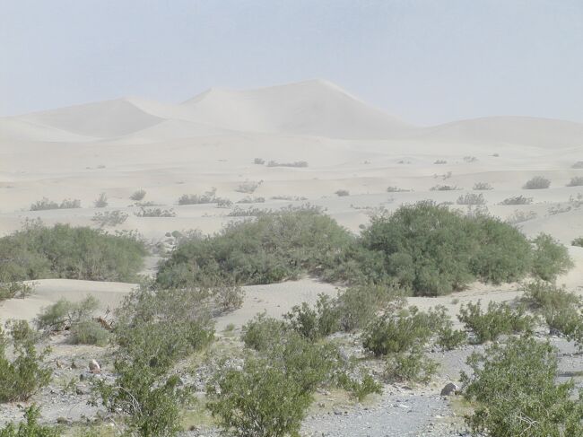 The Sand Dunes near Stovepipe Wells |
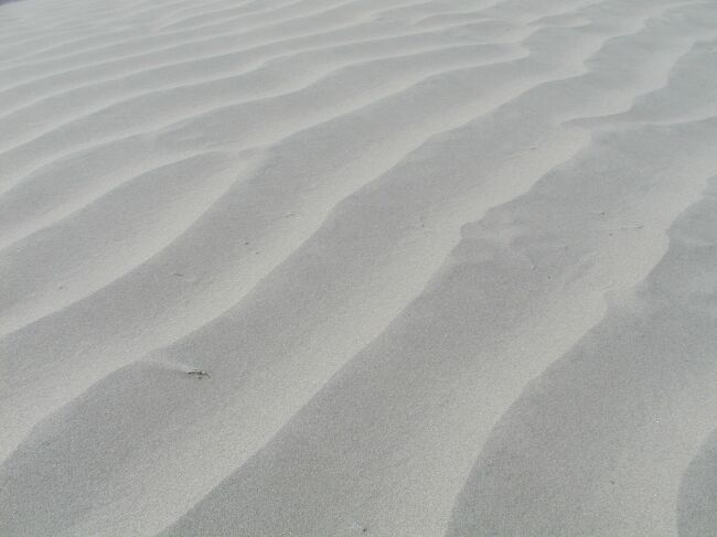 The wind makes for some neat designs in the sand |
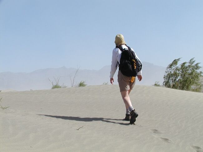 Stephanie bundled up to go hiking in the hot dry air and ferocious wind |
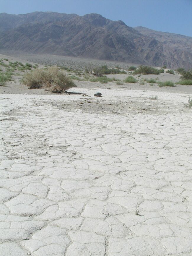 Several places in the dunes are hard and crusty from rain storms that create pools which end up evaporating in the sun |
 The ridge on which we were hiking - note the wind blowing the sand |
 Death Valley is one of our favorite National Parks now. |
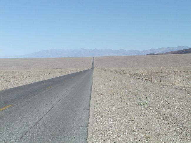
 The tall peak was our goal. Due to the dry air and flat terrain along the Salt Flats, distances are telescoped. It looked as though we could touch the peak from the car. We never made it after hiking several miles. |
 A wide angle view back at the car of the dunes |
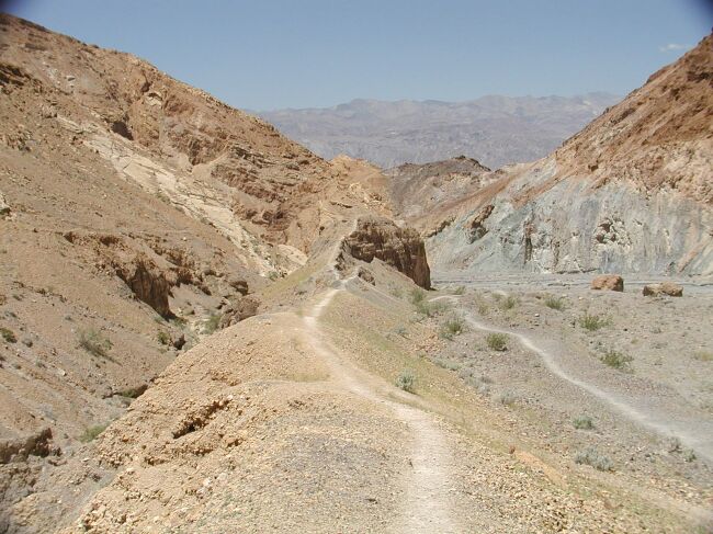
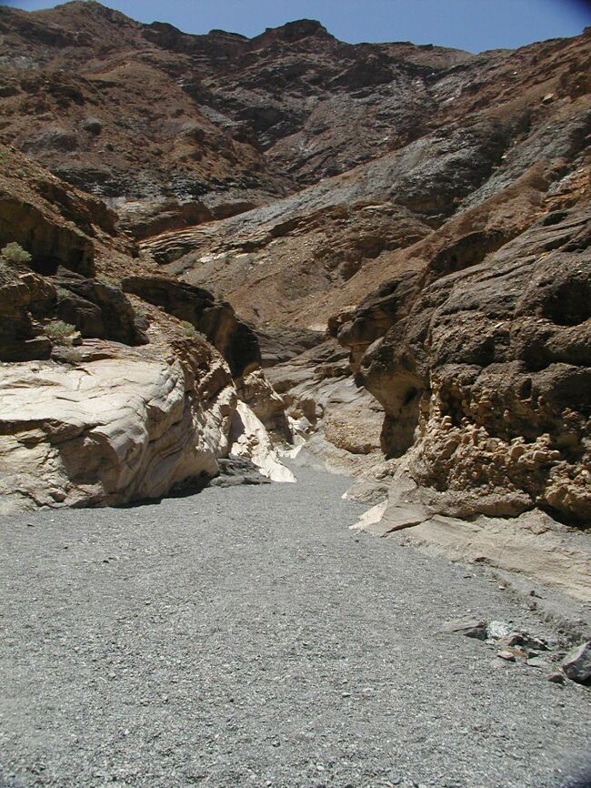 Now we're hiking back into Mosaic Canyon |
 This was a hauntingly beautiful place. We're walking on the river bed which is usually dry unless a storm causes a flash flood. |
 Mosaic Canyon |
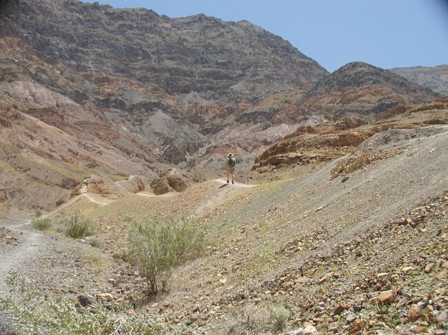
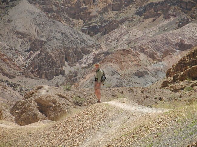 Brad is hiking along a knife-edge ridge |
 The view of the ridge and the trail - this was quite exposed as it dropped about 100 feet on either side of the 18-inch wide trail. |
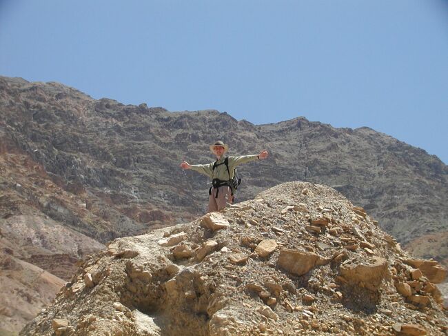 Brad at the top of a point. Just after this picture was taken, we were nearly blown off the ridge by the strongest winds either of us has ever experienced. An exciting saga that reminded us that, however much fun this was, we are NOT in control out there. |
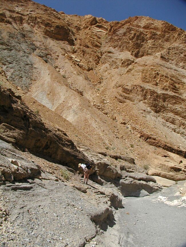
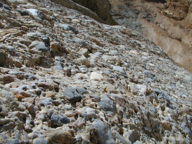 The sides of the canyon walls were granite-like gravel cemented naturally |
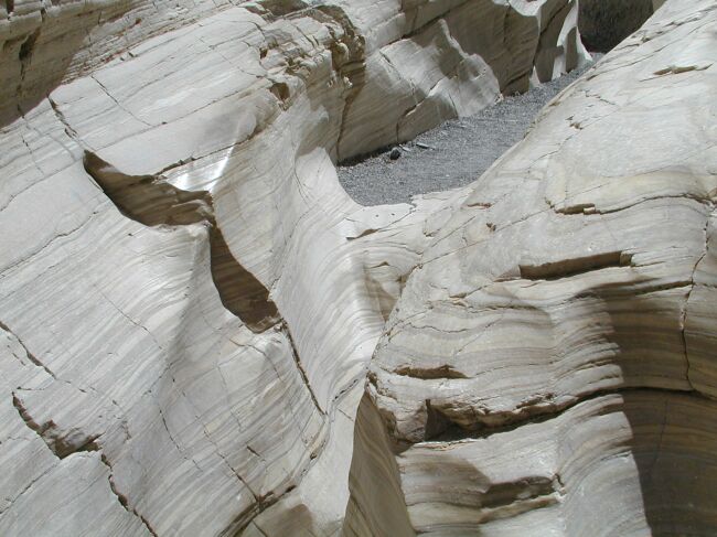 The floor of the canyon was polished marble, smooth as glass from the work of water |
 The scenery along the park road in Death Valley |
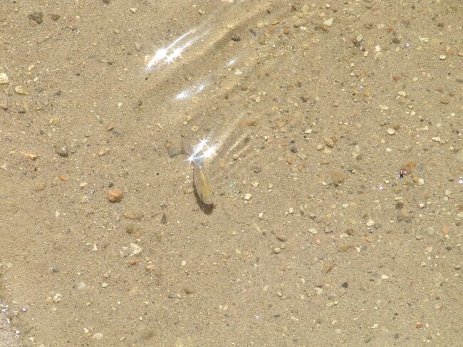 Pup fish in Salt Creek |
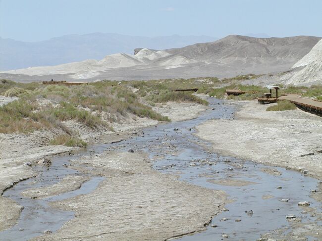 Salt Creek is the only moving water we saw in the park, and as its name suggest, it is salt water. |
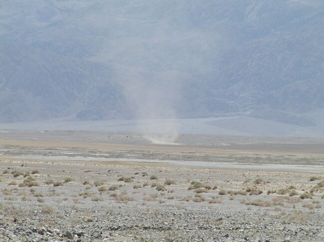 One of hundreds of dust devils we saw |
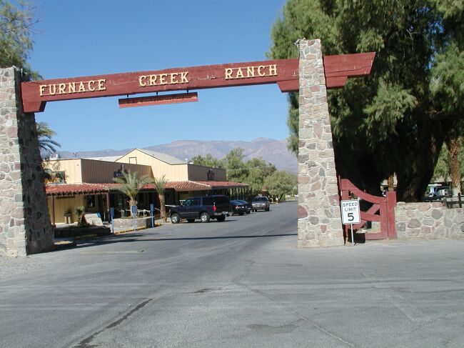 The village entrance in the park |
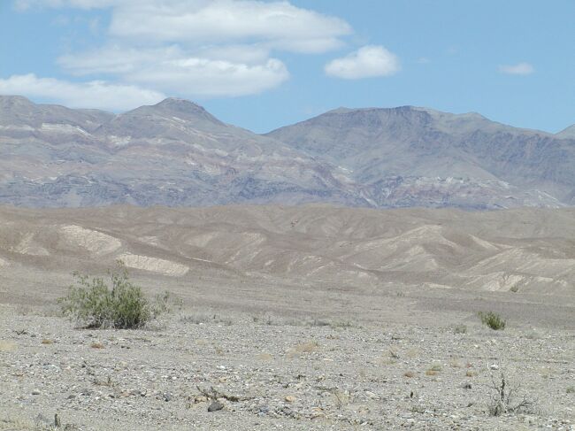
 Looking across the salt flats at the Panamint Mountains |
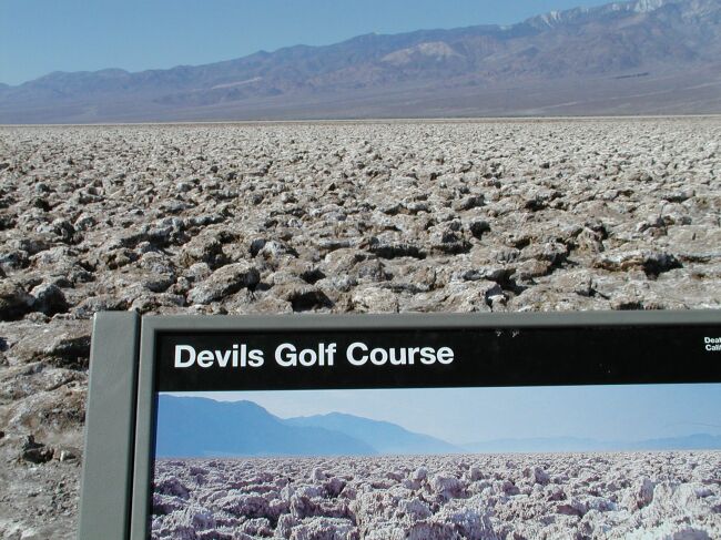 The Devil's Golf Course |
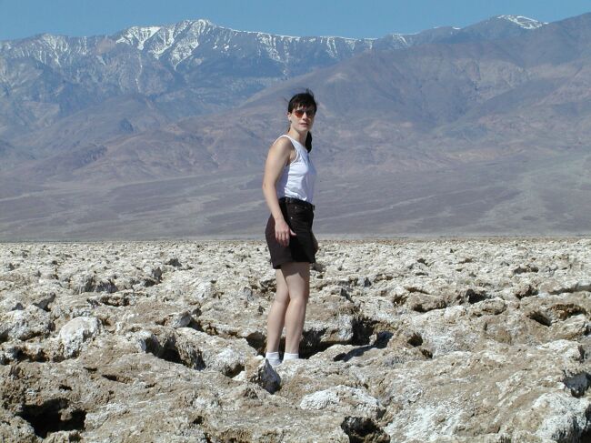 Stephanie tries walking on Devils Golf Course - a large area of crystallized salt blocks with sharp edges |
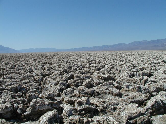 To show the vastness of this place |
 A closeup view of the salt block formations |
 The park road between Badwater and the Visitor's Center. You need to always keep water in the trunk and a full tank of gas. |
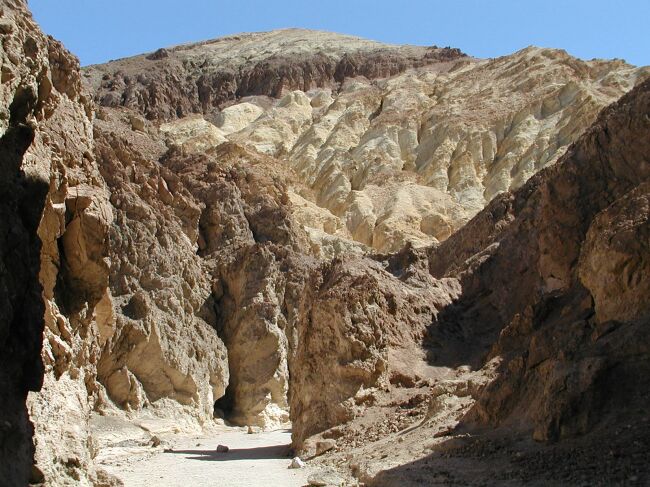 Hiking into Golden Canyon |
 Looking at Telescope Peak from Golden Canyon |
Panorama from Dante's View shows the lowest point in the park, Badwater Salt Flats at -282 feet, and the highest point in the park, Telescope Peak at just over 11000 feet. |
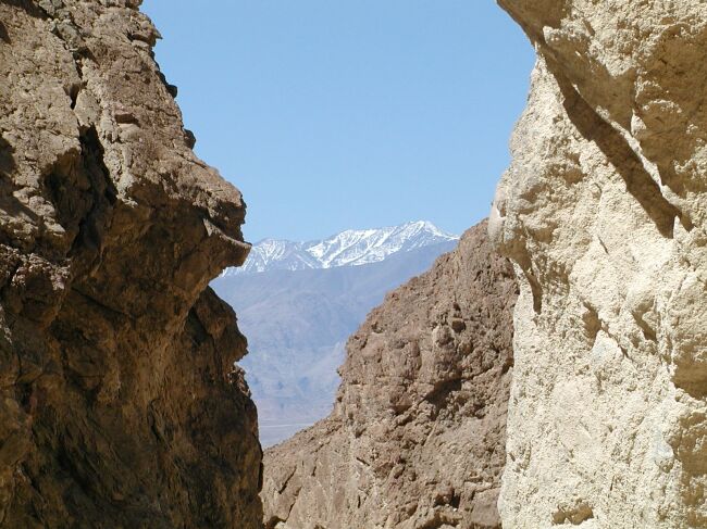
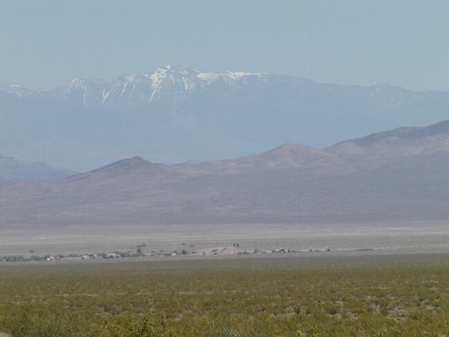
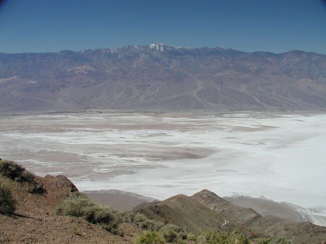 The white salt in the valley and the white snow on the mountains stand out against the brown mountainsides and blue sky |
 The Sierra Nevada mountains are just visible on the horizon from Dante's View |
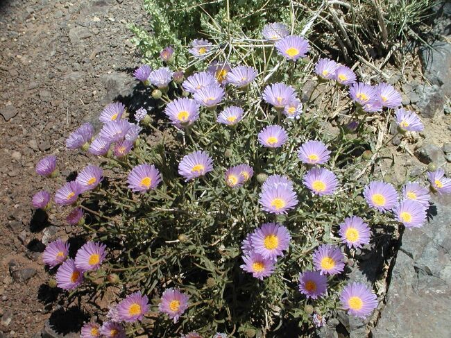 Gorgeous wildflowers at 5500 feet in Death Valley National Park |
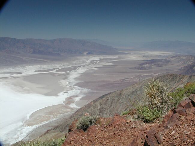 Overlooking the valley floor from up high in the park |
Another panorama from Dante's View |
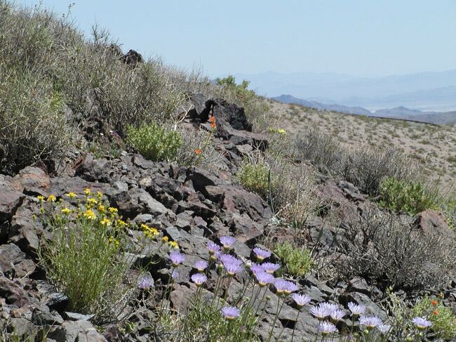 Flowers along the trail at Dante's View |
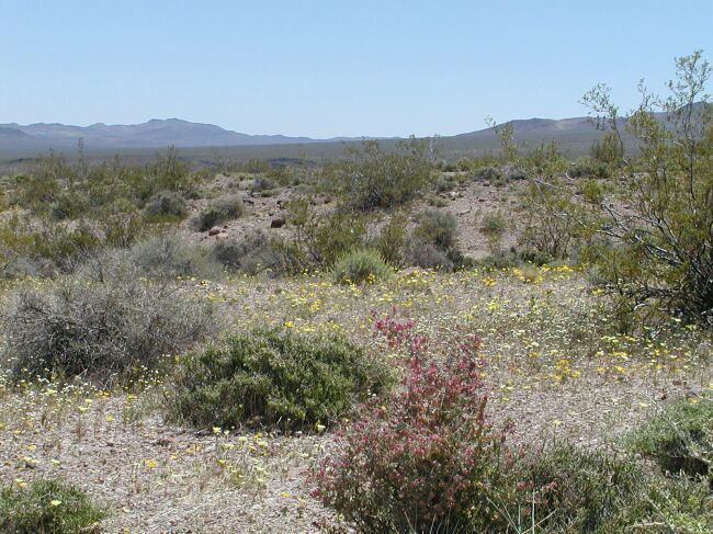 Flowers along the road to Dante's View |
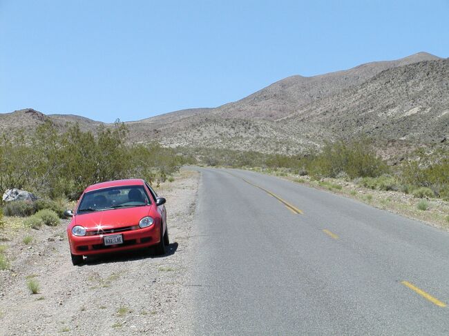 Our reliable little Dodge Neon rental on the road to Dante's View. We put 1300 miles on that poor car. |
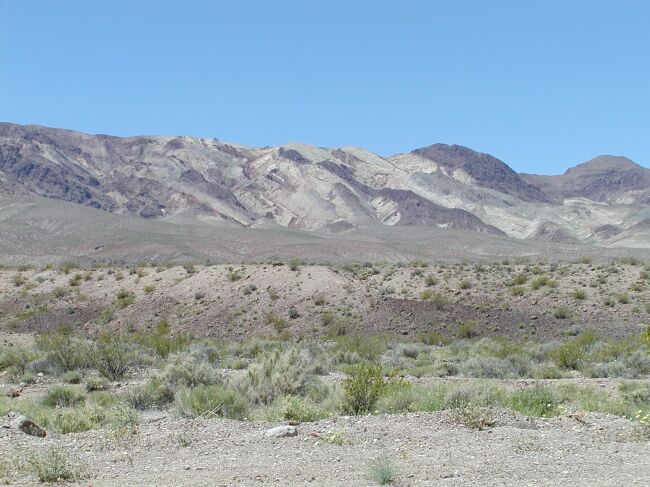 Unbelievable colored ridges within the park |
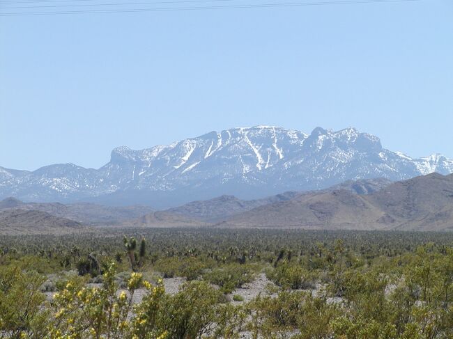
 Charleston Peak, at over 11000 feet, just outside of Las Vegas |
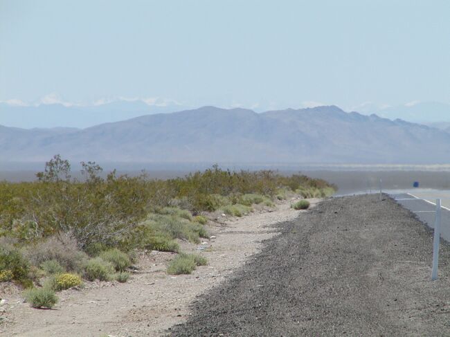 A distant view of the Sierra Nevada mountain range in California from the drive back to Vegas on Hwy 95. |
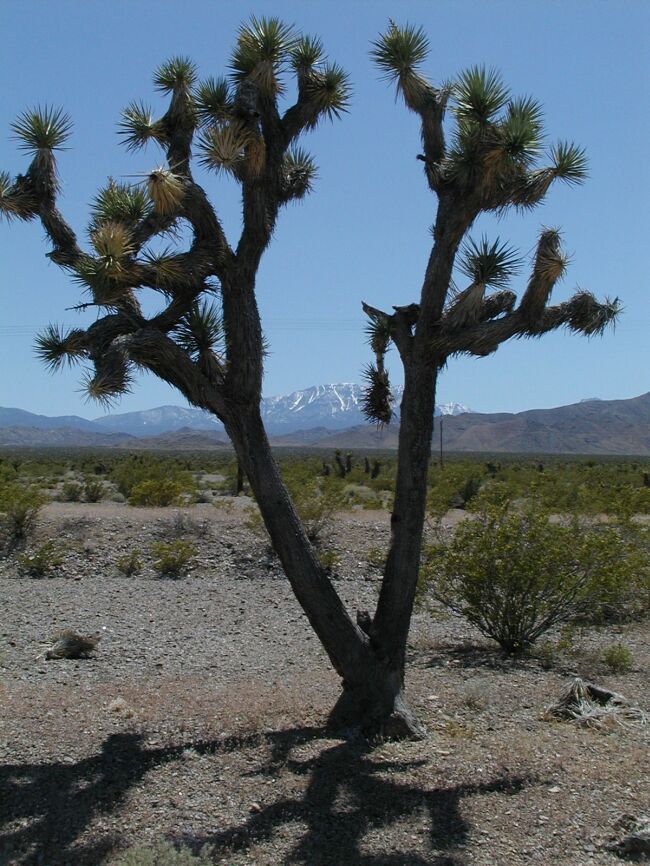 A lone Joshua tree frames the Mount Charleston range |
 Snow Mountain outside of Vegas |
 We drove down the Strip to say we had. |
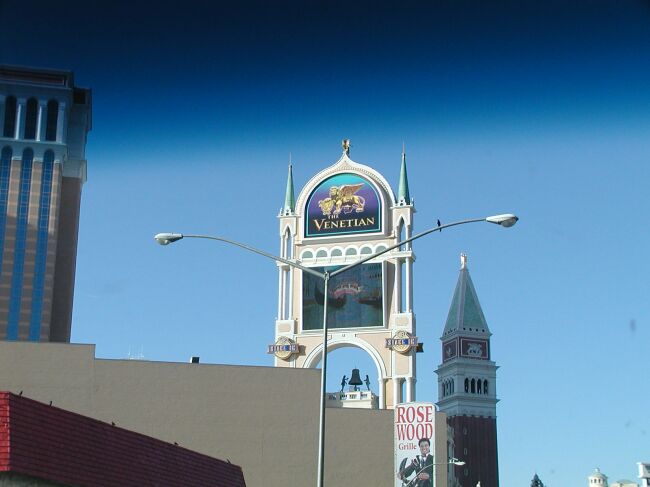 The Venetian is where you can ride Gondolas down the canals of Venice |
 The infamous Caesar's Palace |
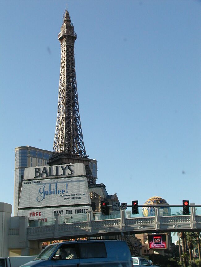 The Eiffel Tower, in miniature |
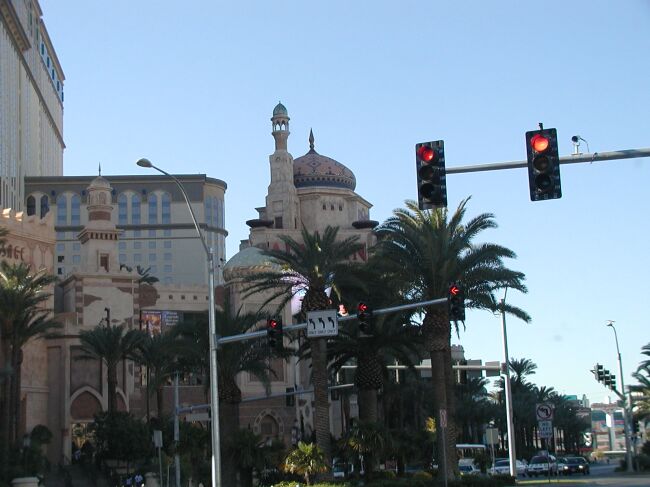 The Aladdin |
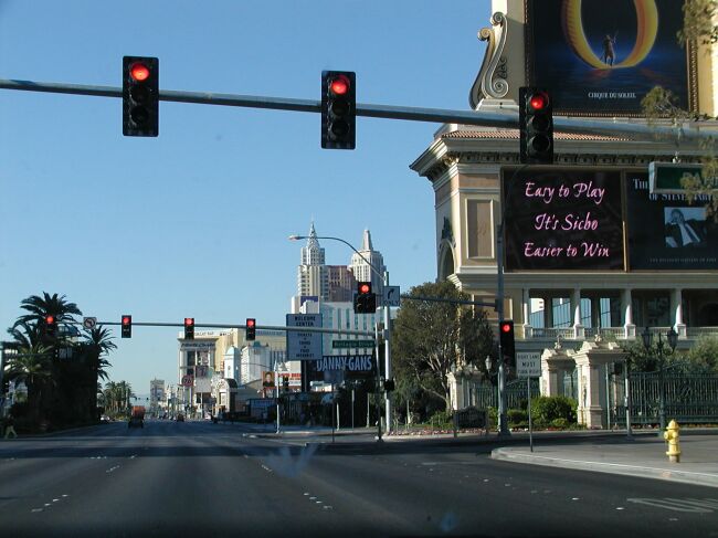 A view down the Strip |
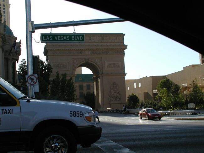 Paris |
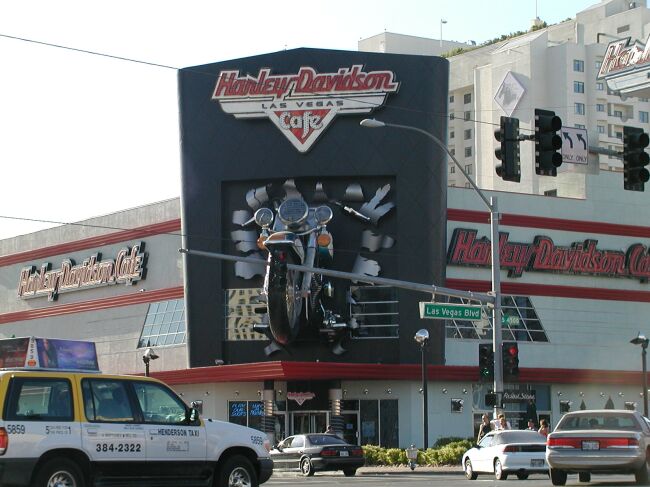 Harley Davidson Cafe (this one's for you, Amy) |
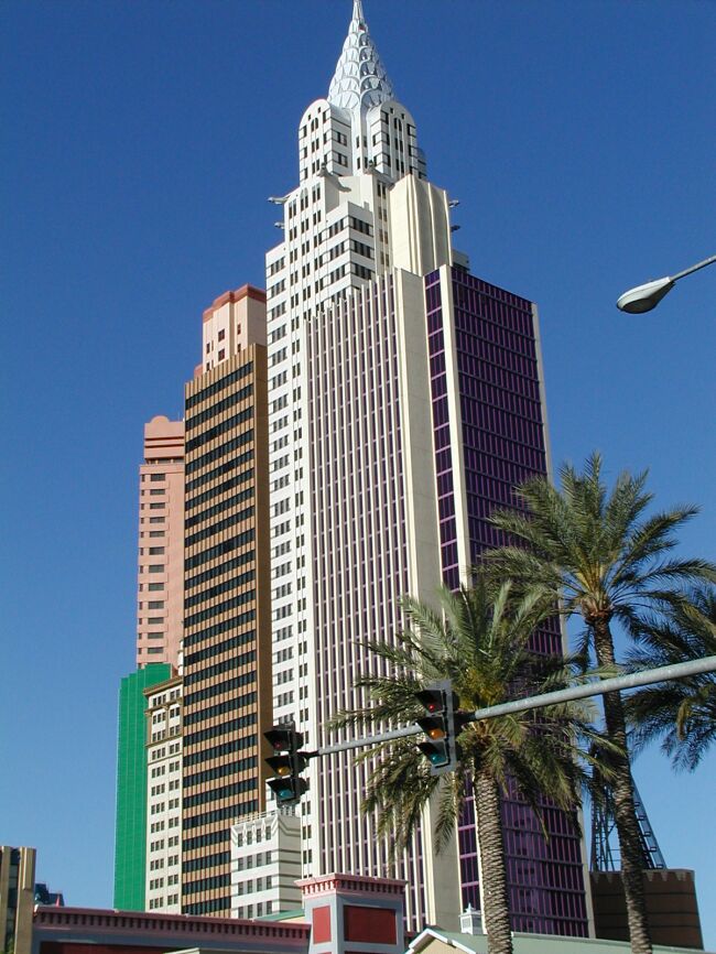 The New York skyline at the New York, New York hotel and casino |
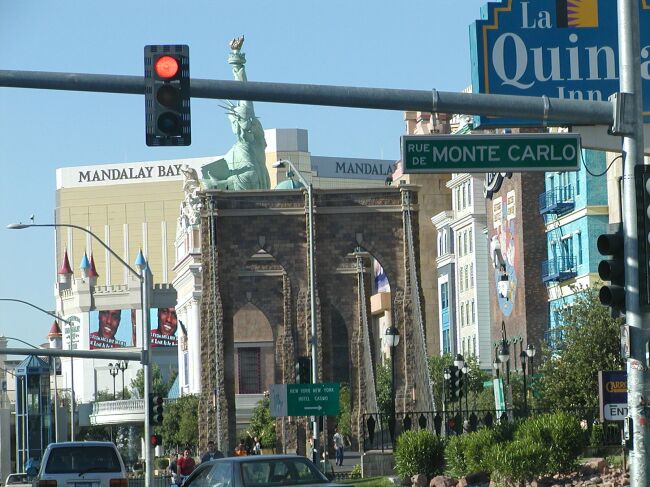 Brooklyn Bridge and Statue of Liberty |
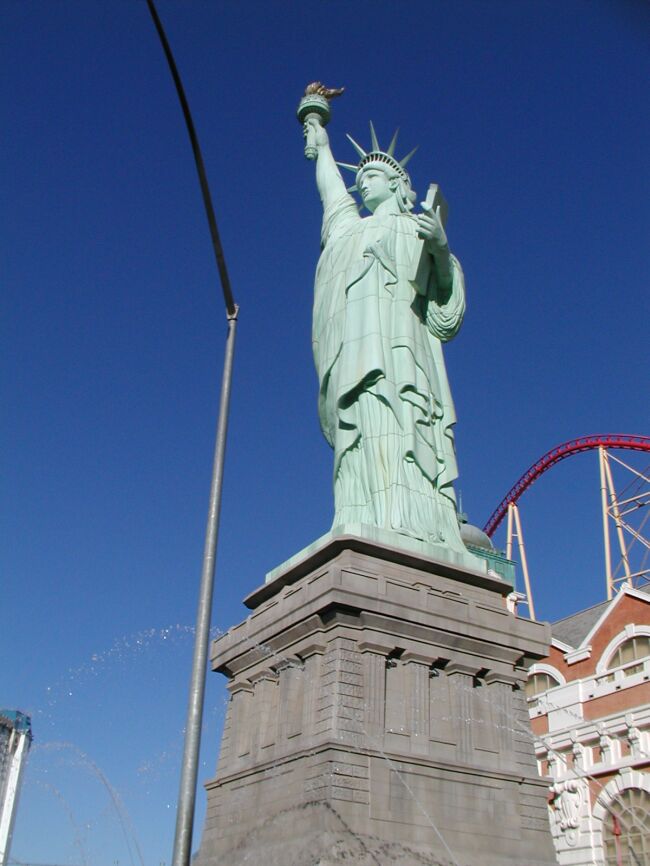 The Statue of Liberty - coming to Las Vegas can save you a lot of trips to other places. |
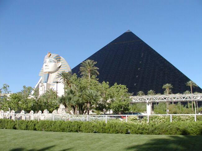 An Egyptian pyramid and the Sphynx |
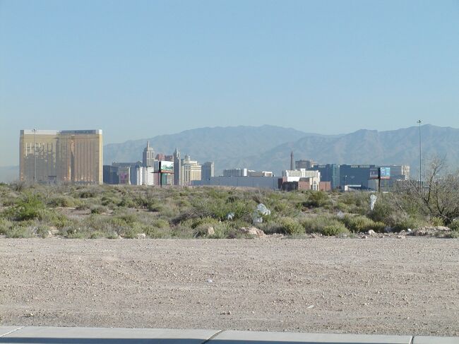 A view of the Strip on our way to the airport |
 Yes, they have slot machines in the airport terminal. |
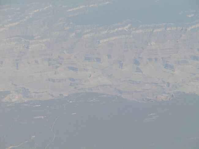 The Grand Canyon south rim village from the airplane |